Specialists in Marylebone
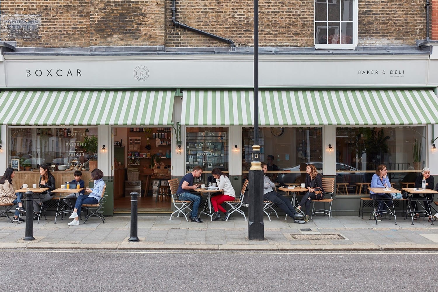
Wyndham Street
Wyndham Street is a residential street in the western part of Marylebone, carrying postcodes in the W1H district and lying within the City of Westminster. The street runs approximately 144 metres in length and falls within the land managed by the Portman Estate, the landholding that has shaped the western half of Marylebone since William Portman acquired the manor in the sixteenth century. The name Wyndham connects to the Portman family's wider network of connections, reflected also in the nearby Wyndham Place and Bryanston Square.
Development of this corner of the Portman Estate proceeded from the late eighteenth century and gathered pace during the early nineteenth century. The Horwood map of 1799 records partial development of Wyndham Place and Montagu Place, with the immediate area built out between roughly 1811 and 1820 under architect J. Parkinson. The architecture is characteristic of the Portman Estate's Georgian residential output: plain-fronted brick terraces with regular fenestration, designed to house a professional and commercial middle class in well-ordered streets.
Wyndham Street today is primarily residential in character. Its proximity to Regent's Park to the north and Marble Arch and Hyde Park to the south-west gives it a useful position within the wider neighbourhood. The street is served by Edgware Road and Marble Arch Underground stations, and sits within the quieter residential pocket that lies between Baker Street and the busier arteries of Oxford Street and Edgware Road.
The Marylebone Gazette
Delivered weekly to your inbox
Join 12,000+ Marylebone insiders