Specialists in Marylebone


Marylebone Lane
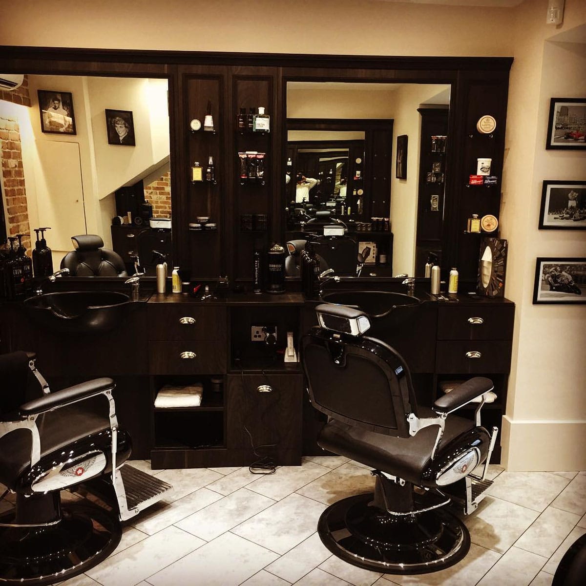
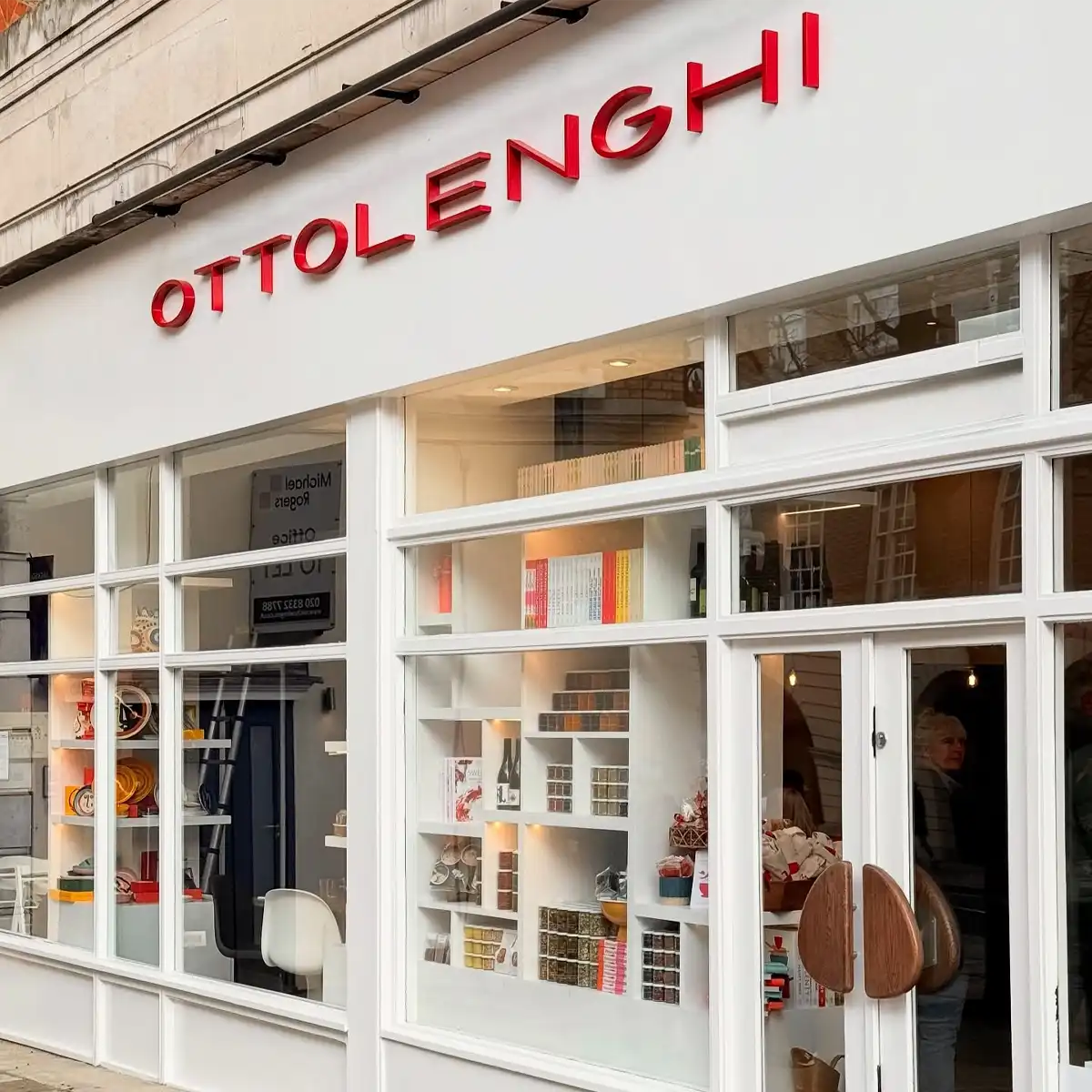
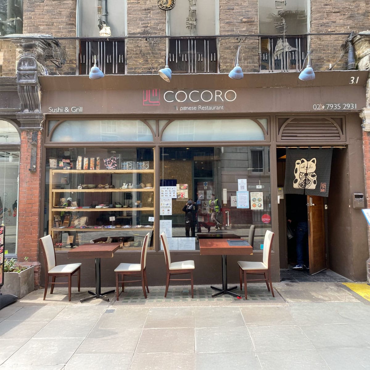
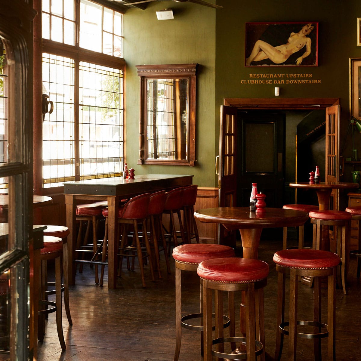
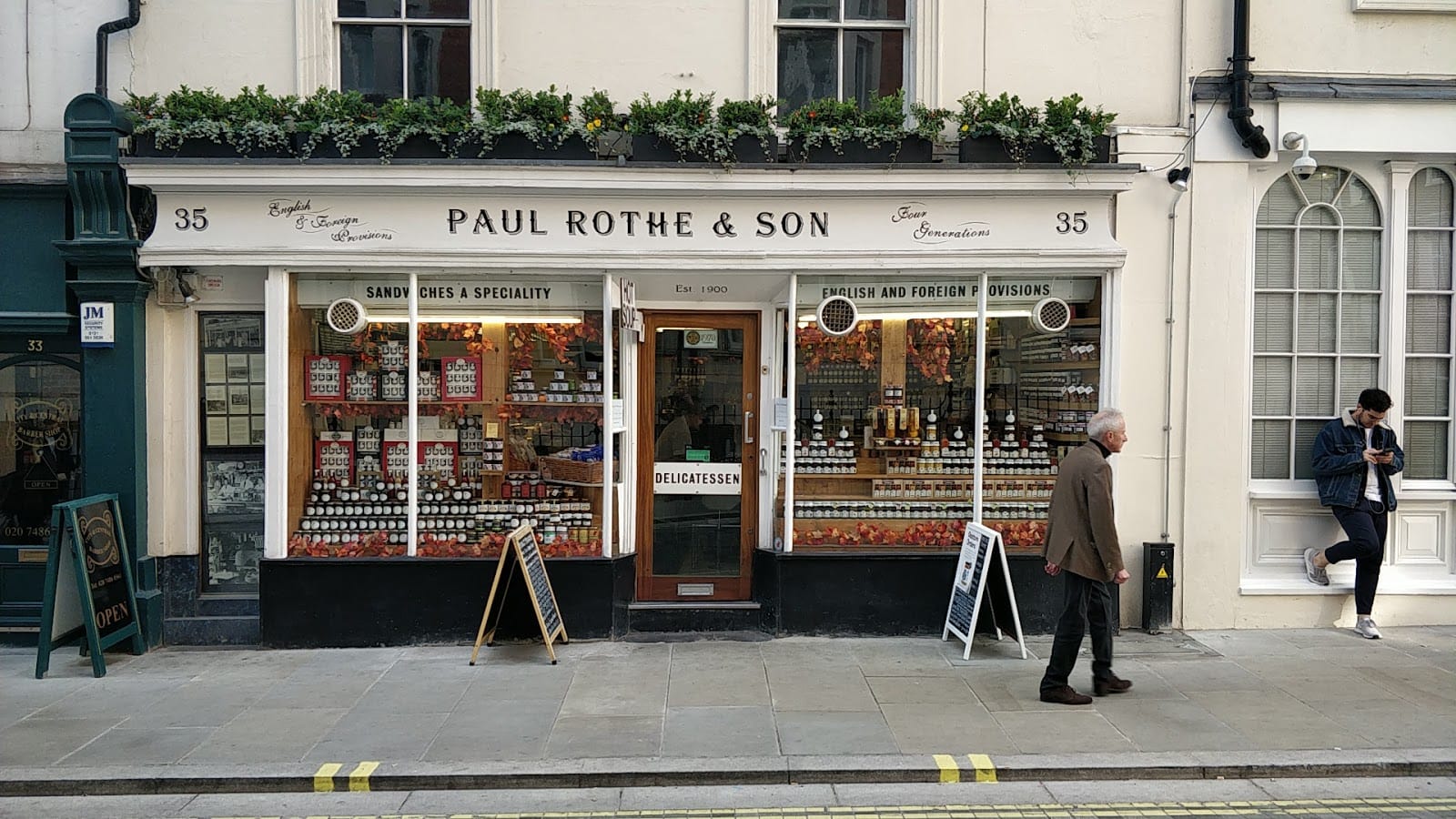
Marylebone Lane is one of the oldest surviving routes in the area, and its gently curved alignment sets it apart from almost every other street in the surrounding grid. The curve is not accidental: the lane originally followed the western bank of the River Tyburn, a small stream that ran south from Hampstead before being culverted as London expanded northward. That relationship with the river pre-dates the formal estate development of the eighteenth century by several centuries.
The lane connects Oxford Street at its southern end to Wigmore Street further north, passing through the Howard de Walden Estate. While the wider neighbourhood was laid out in orderly Georgian squares and ruler-straight avenues during the 1700s and early 1800s, Marylebone Lane retained its earlier path. This gives it a compressed, almost village-like quality that contrasts with the formal architecture surrounding it.
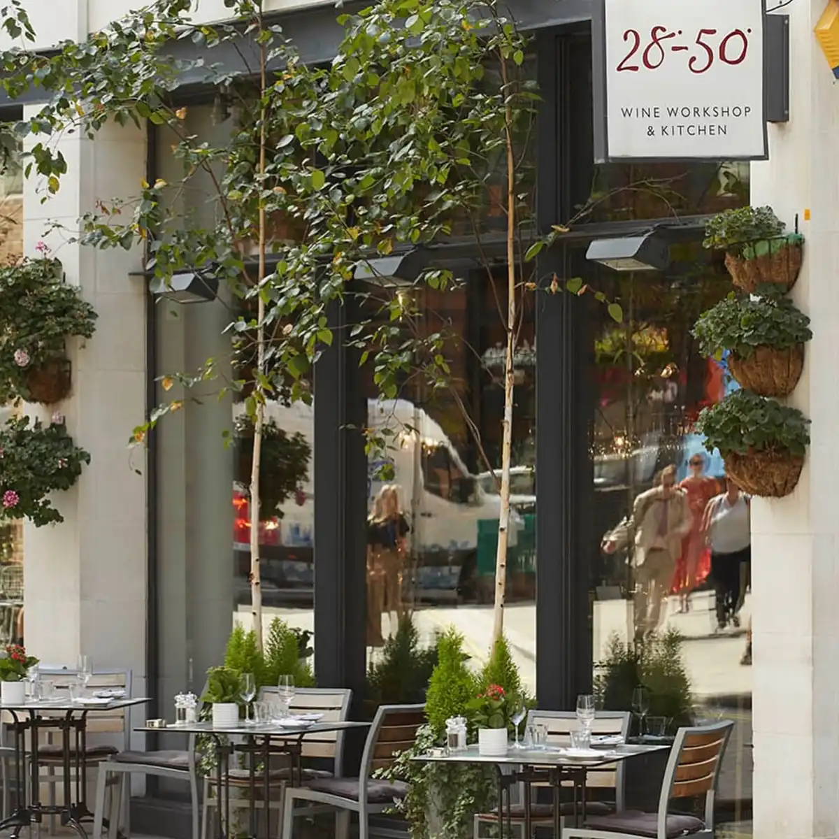
The Norman Domesday survey of 1086 recorded the manor of Tyburn, from which Marylebone grew, as a settlement of no more than fifty people with a value of 52 shillings. The medieval church of St Mary, built around 1400 on the bank of the Tyburn, eventually gave the area its name and the lane its broader historical context. Today the lane accommodates a mix of small independent businesses at street level, with residential and professional uses above. Its irregular width and course make it one of the more visually distinctive streets in the Marylebone High Street quarter.
The Marylebone Gazette
Delivered weekly to your inbox
Join 12,000+ Marylebone insiders