Specialists in Marylebone
James Street
James Street runs north from Oxford Street to the junction of Wigmore Street and Mandeville Place, passing through the southern section of the Howard de Walden Estate. It was laid out around 1761 to 1769 and carries the W1U postcode.
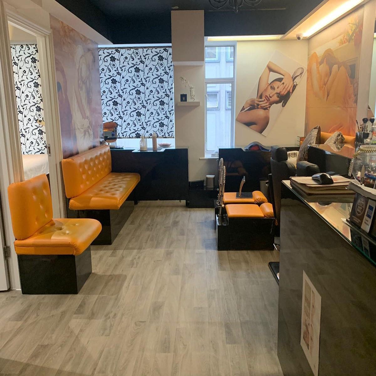
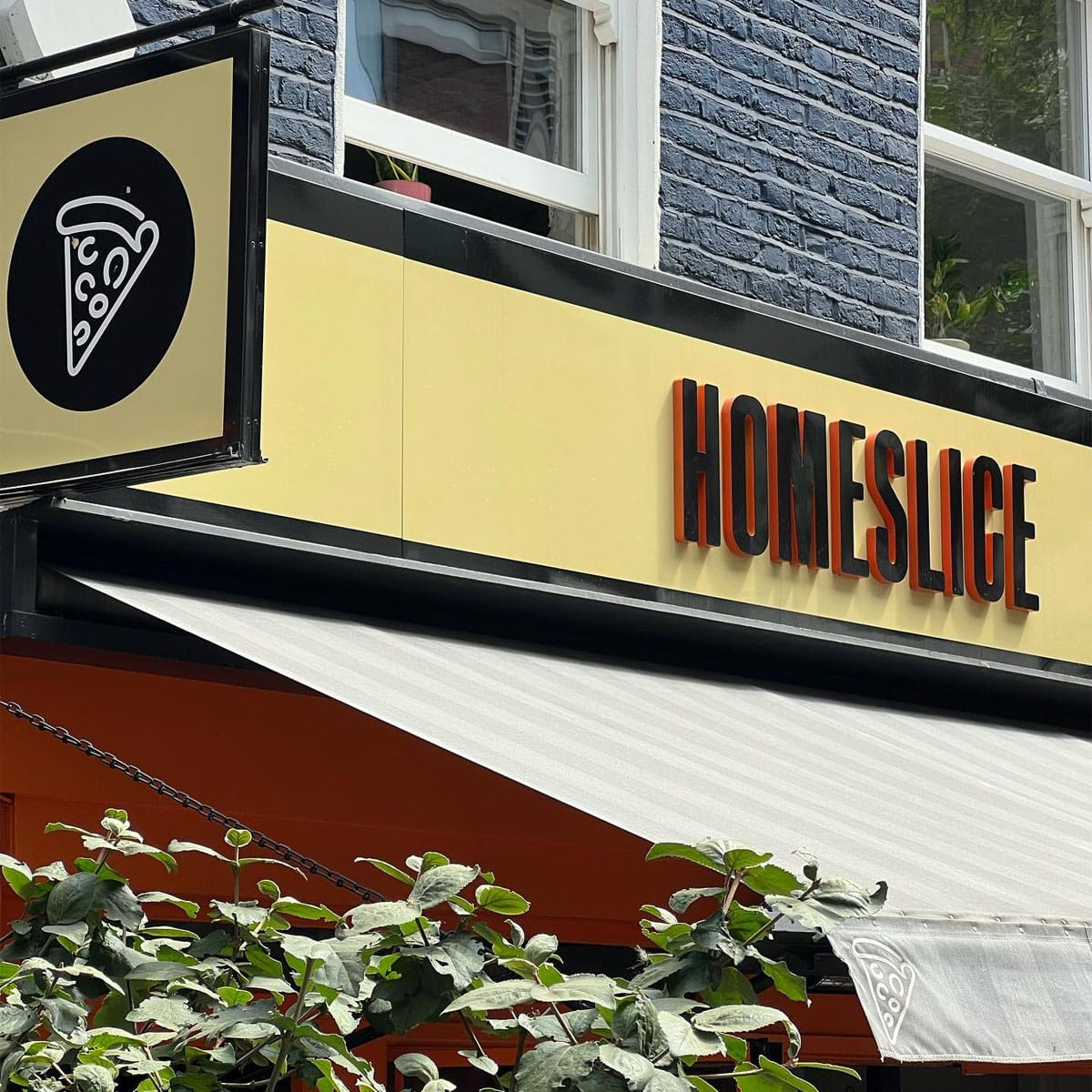
The street is primarily commercial, with a high concentration of restaurants and independent food and drink businesses that developed over the twentieth century. Its direct connection to Oxford Street at the southern end and to Wigmore Street at the northern end makes it a natural pedestrian route between the two, and this footfall has shaped its retail character.
A notable episode in the street's administrative history occurred in 1936, when the London County Council proposed renaming James Street, along with Thayer Street and Mandeville Place, to extend Marylebone High Street as a single unified route from Oxford Street to Marylebone Road. The proposal was rejected. Residents of Mandeville Place objected on grounds of social distinction, while traders on the other streets raised concerns about customer confusion and the unwanted association with Marylebone Road rather than with Oxford Street. The street therefore retained its original name.
Number 56, a mid-1760s house with later shop conversion, is a listed building and one of the older surviving structures on the street. It illustrates the Georgian residential origins of what is now an almost entirely commercial thoroughfare, close to Wigmore Street.
The Marylebone Gazette
Delivered weekly to your inbox
Join 12,000+ Marylebone insiders