Specialists in Marylebone



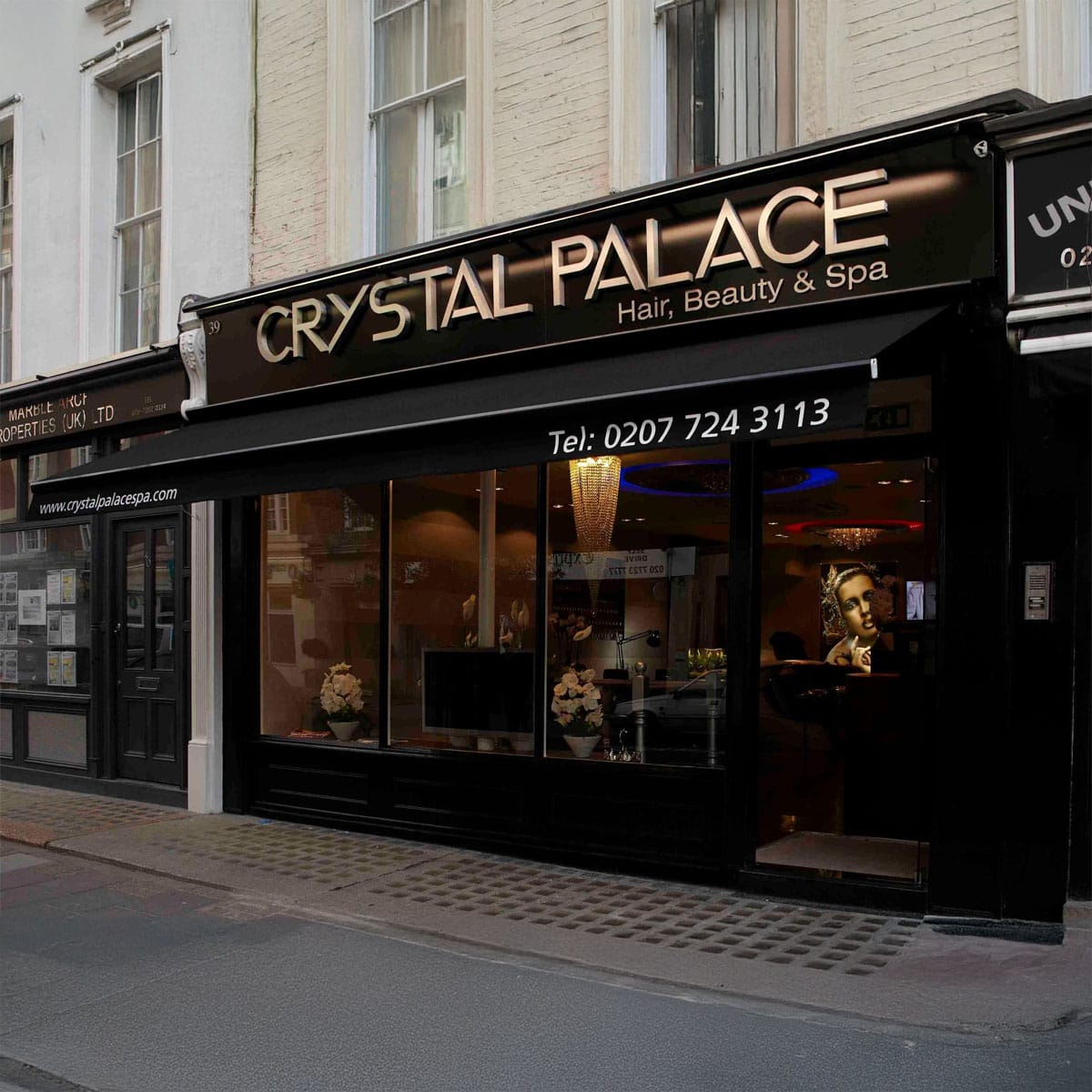

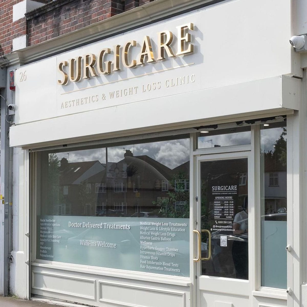
Crawford Street
Crawford Street runs east to west across the northern half of Marylebone, linking Marylebone High Street in the east with Edgware Road at its western end. It carries a W1H postcode and forms part of the disciplined Georgian grid developed by the Portman Estate during the early nineteenth century.
A 1799 map records the street as Durweston Street, after another Portman family holding in Dorset. It was subsequently renamed Crawford Street after Tarrant Crawford, a Portman property in the same county. Building work proceeded between approximately 1811 and 1820 as part of the wider Wyndham Place and Bryanston Square development, which architect J. Parkinson designed for the estate. The resulting terraces follow the Georgian pattern standard across the Portman Estate: four- and five-storey brick houses, some with carriage entries, built by private developers on leased plots rather than directly by the estate itself.
Several properties along the street carry statutory listings. 43 Crawford Street is a Grade II listed terraced house from circa 1811 to 1823, incorporating an original carriage entry. 118 Crawford Street is also Grade II listed. The street is close to the amenities of Marylebone High Street and within easy reach of Baker Street Underground station, making it one of the more accessible residential streets in this part of the neighbourhood.
The Marylebone Gazette
Delivered weekly to your inbox
Join 12,000+ Marylebone insiders