Specialists in Marylebone

Thayer Street
Thayer Street runs broadly north to south through the heart of Marylebone Village, connecting Marylebone High Street at its northern end to Bentinck Street and Mandeville Place at the south. It is part of the Portman Estate, whose lands were first acquired by Sir William Portman in the sixteenth century and developed from the late eighteenth century as planned residential streets on what had previously been farmland.
The street was developed primarily between the late 1770s and the early 1790s. It contains four listed buildings, reflecting the quality of its original Georgian terraced stock, many of which have had retail premises inserted at ground level over subsequent generations. This mix of residential above and commercial below is characteristic of the southern Portman Estate streets.
In 1936, the London County Council proposed renaming Thayer Street, Mandeville Place and James Street under a single Marylebone High Street designation, to create a continuous named route from Oxford Street to Marylebone Road. The proposal was defeated by local traders who were concerned about the cost of the change and objected to an association with Marylebone Road rather than the more prestigious Oxford Street end of the neighbourhood.
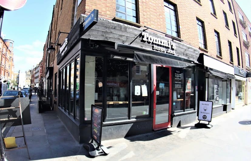
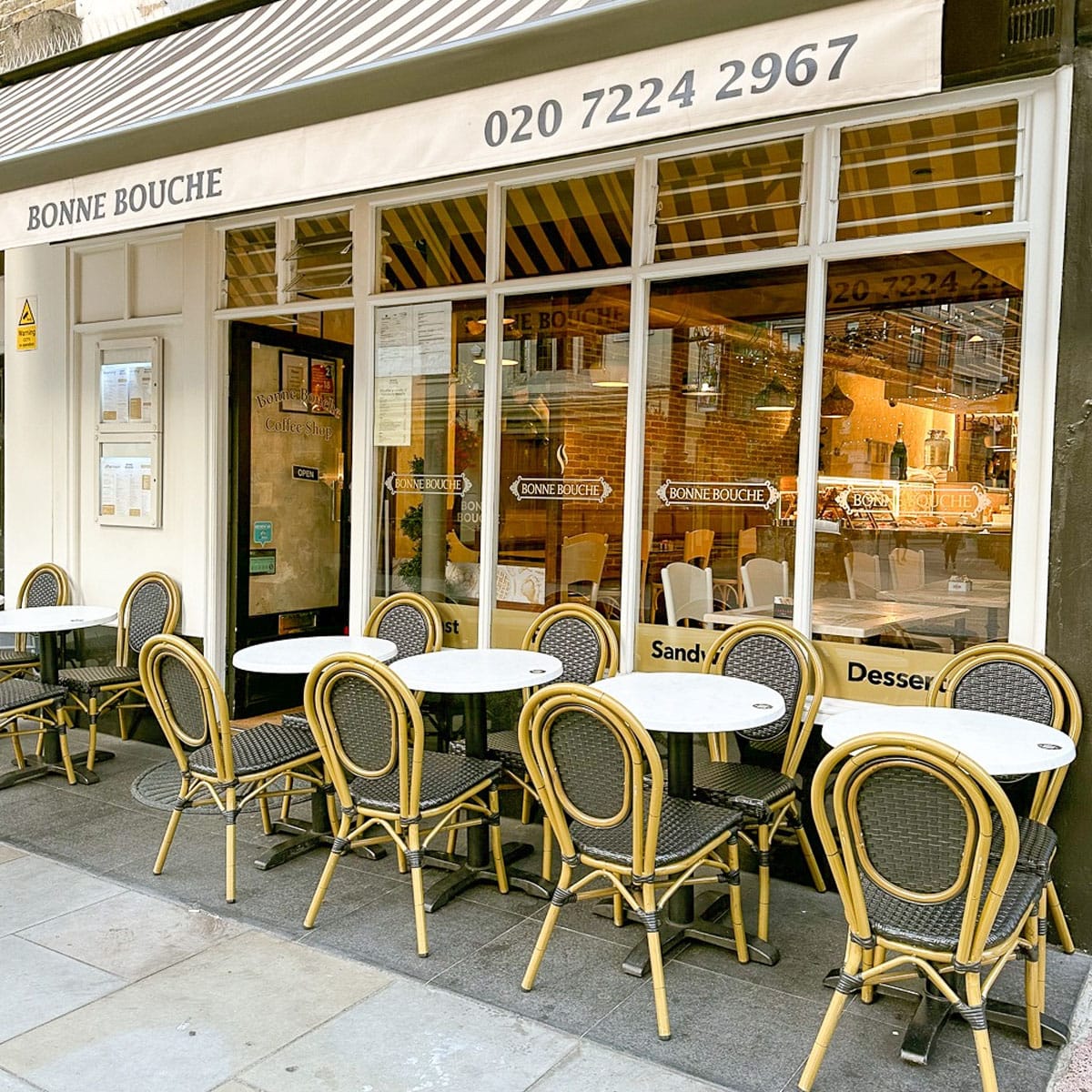
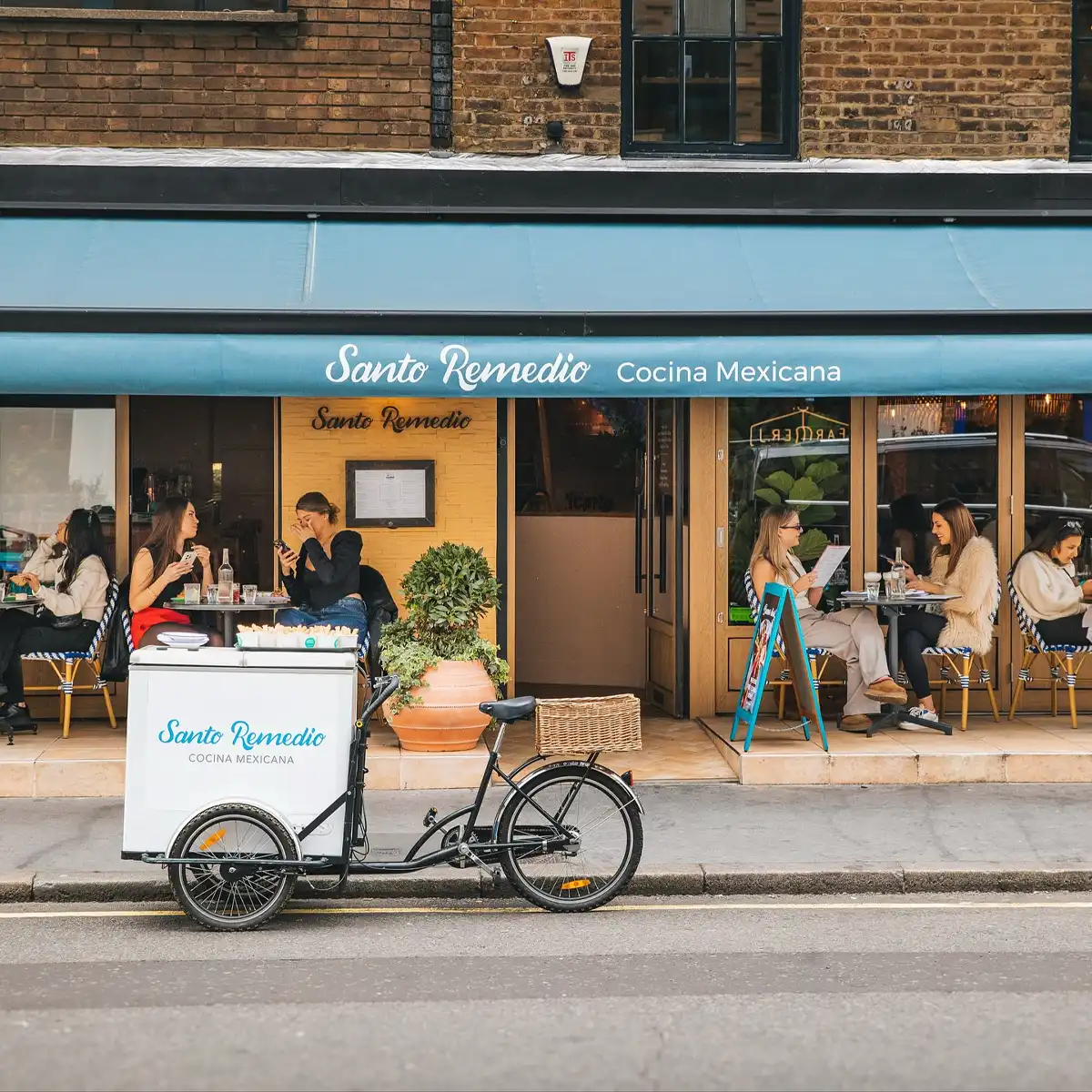
Today the street supports a range of independent cafes, small retailers and professional offices. It connects naturally to Marylebone High Street, with which it shares much of its commercial character.
The Marylebone Gazette
Delivered weekly to your inbox
Join 12,000+ Marylebone insiders